
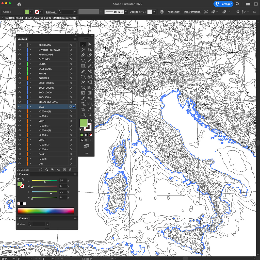
Geoatlas vector maps database
You are the master cartographer!
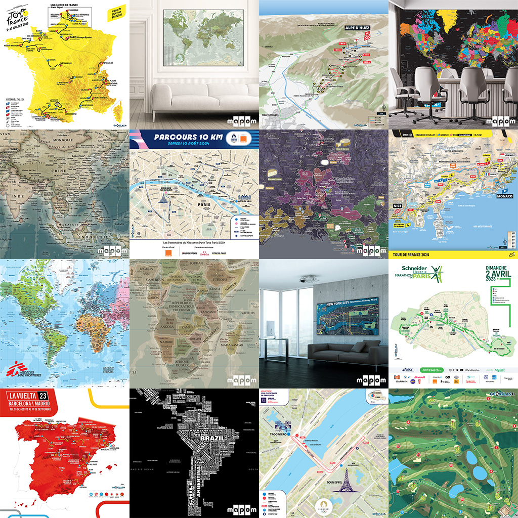
Geoatlas custom maps
Our maps are your signatures!
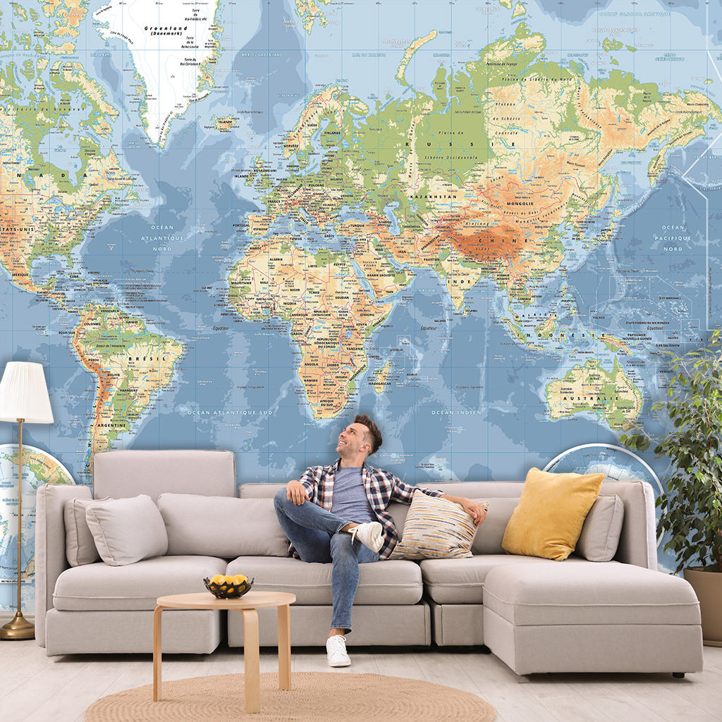
Geoatlas concept store
What a wonderful World… at home or in the office!
Our cartographers wanted to dust off all the standards, they unraveled the usual codes to offer new exclusive, durable and spectacular models. The only use eco-responsible supports and ecological pigment inks, to offer wonderful prints, designed and manufactured in our Geoatlas workshop (Monts du Lyonnais, Auvergne-Rhône-Alpes,

PHILOSOPHY
We have the experience and the expertise to create original vector geographical maps.
We will provide you with adapted cartography to your visual communications, your digital or printed resources, your sport events, your home or work places… Geoatlas vector maps database, Geoatlas custom maps and Geoatlas design maps are primarily aesthetic and graphic.
Even if our teams strive to respect standards and cartographic conventions, all
our creations are only imagined with the pen of Adobe Illustrator, the tool of excellence for graphic designers and artists.
THE VECTOR MAPS EXPERT AGENCY
Since 1990 our expert cartographers and graphic designers are specialized in the drawing of geographical, precise, aesthetic, illustrative and vector maps. Our mission as renowned actors for its cartographic signatures could be summed up in these few words: patience, high standards and responsiveness.
In our French workshops Monts du Lyonnais and Basque Country), we are rooted in the worlds of Graphic Arts, Publishing and Digital, thanks to our tool of excellence and of choice: Adobe Illustrator… For example, the built of our Geoatlas vector map of France (size: 5mx5m, 200×200“ / scale: 1/250.000) took 3 years of creation (with 4 of our cartographers and graphic designers). Our WYSIWYG approach (What You See Is What You Get) helps us to compose the result we want.
Because a drawing is better than a long speech and to understand who we are, please scroll through these Geoatlas Cursors below: all our vectors are drawn and organized with our graphic palette!
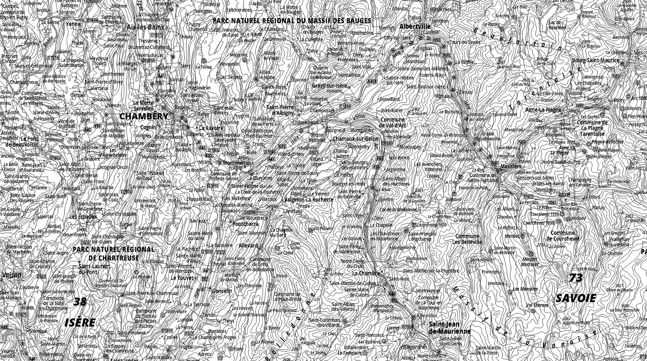
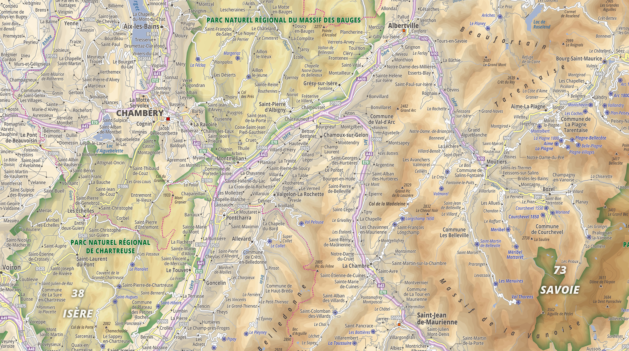
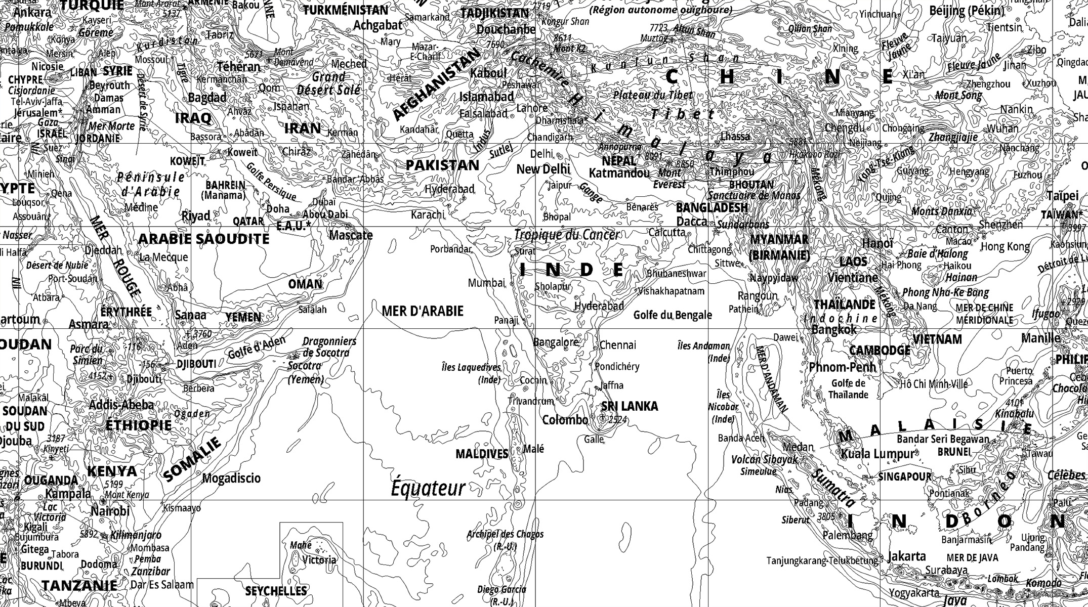
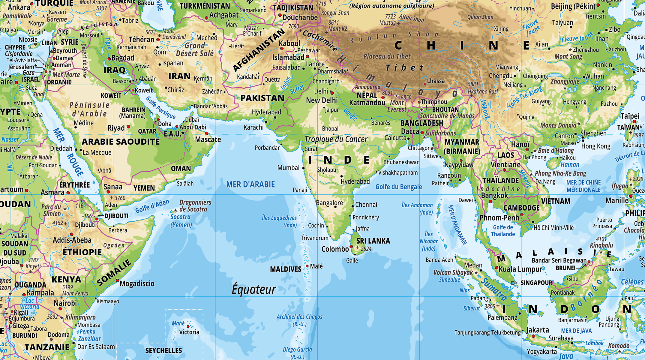
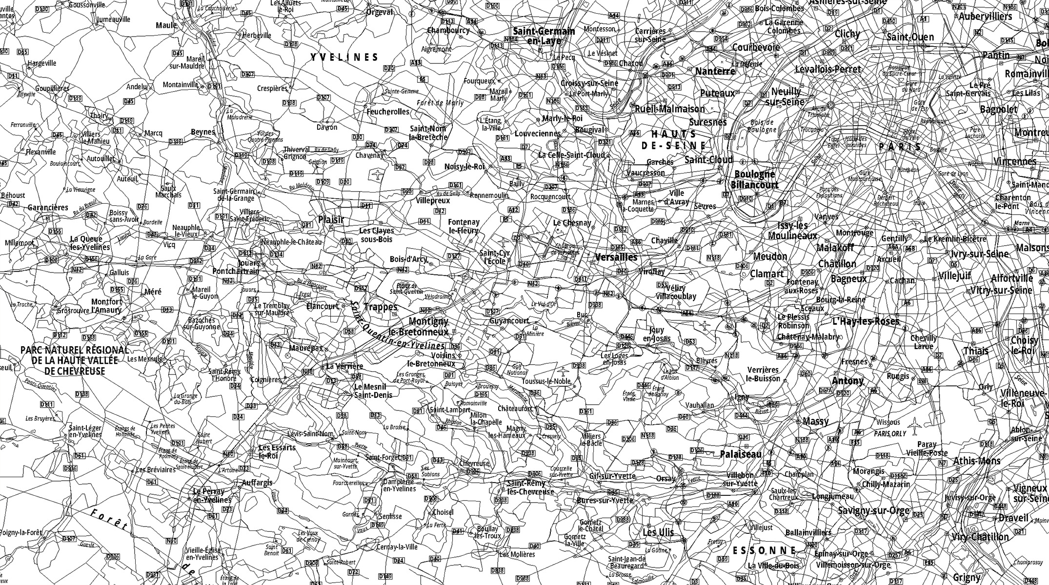
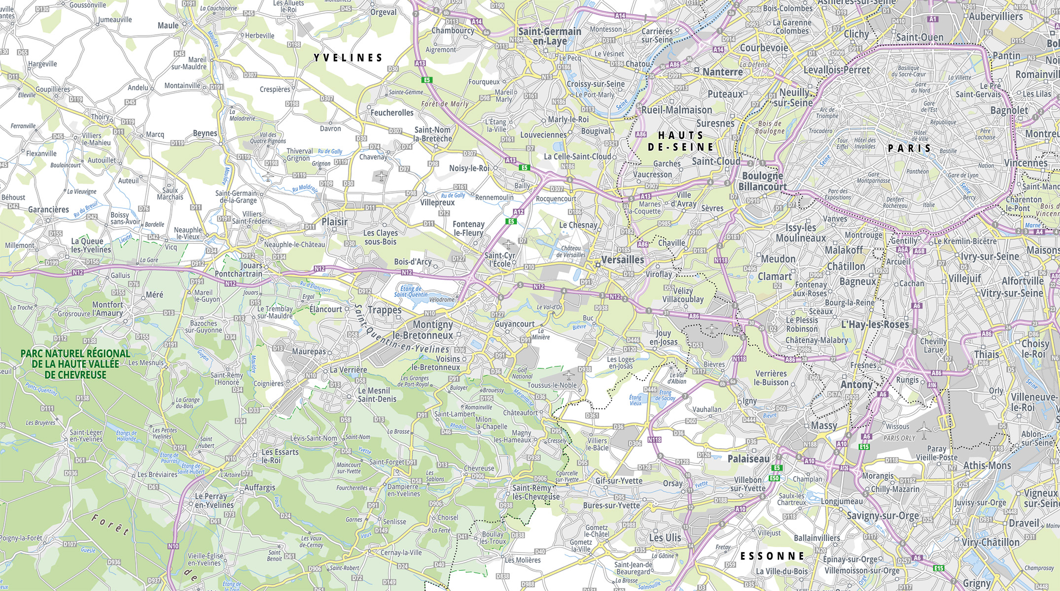
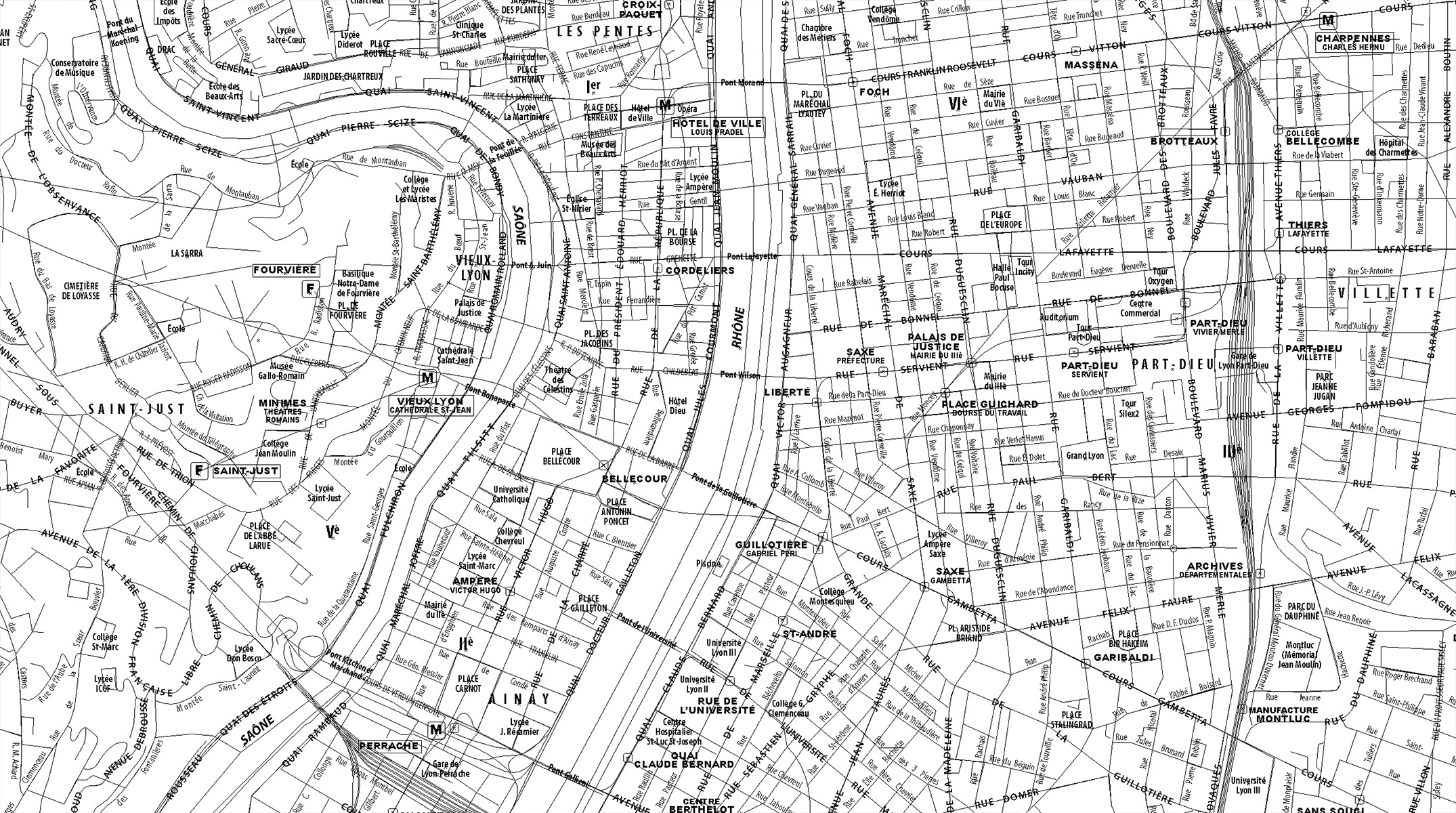
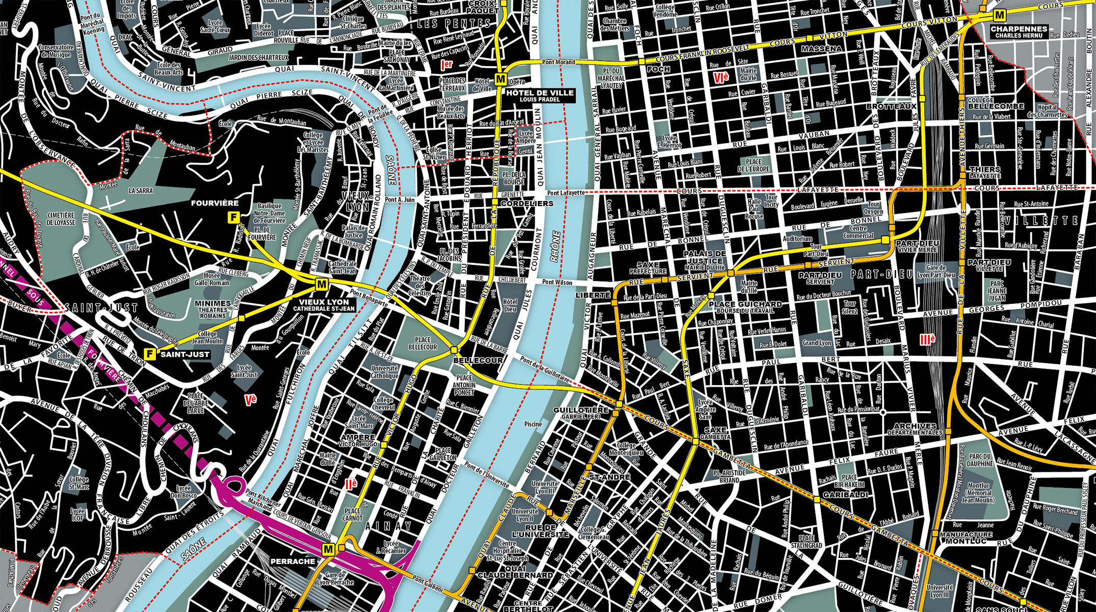
CONCEPT STORE MAPOM (by GEOATLAS)
PORTFOLIO
REFERENCES
We have been awarded the Innovation Prize in Aquitaine and for 25 years we have been signing the official maps of Le Tour de France.
We also reated the Planisphere “Premiar” from Ikea, sold worldwide in more than 500,000 copies… Since 1990, we also work with territories like the European Union, the New Aquitaine, Rhône-Alpes-Auvergne region, the city of Toulouse…), institutions (L’Elysée, the French Ministry of Foreign Affairs, the UN, the CIA…), scientists (ENS Lyon, Polytechnique, CNRS…), SMEs (Quiksilver, Cyclable, Ankorstore, CityOne…), big companies (Exacompta, Ikea, Editions Atlas, Etsy, Warner
Bros…), associations (MSF, Handicap International, Amnesty International…), media (Geo, Arte, France Télévision, Canal Plus, Euronews, Havas…), travel agencies (Voyageurs du Monde, Last Minute, Lonely Planet. ..) and many more. So… maybe you?


